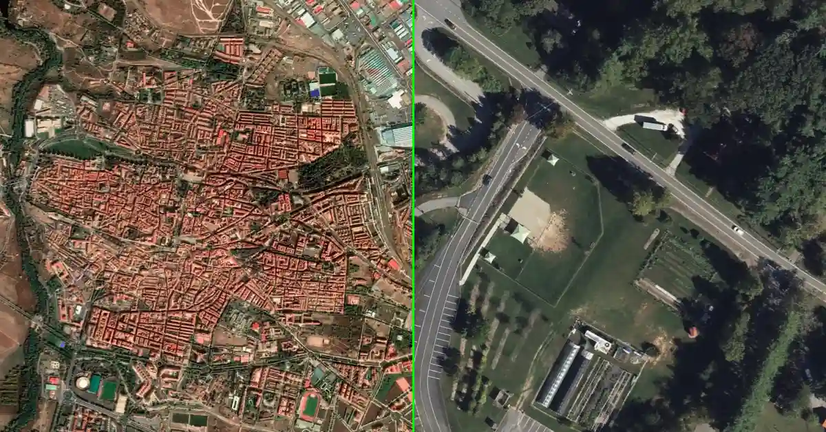
High-resolution satellite imagery has quietly become one of the most consequential data categories of the decade. What was once the preserve of defense agencies and well-funded research institutions is now embedded into workflows across urban planning, insurance risk assessment, agricultural monitoring, disaster response, and supply chain logistics. The shift is being driven by a combination of falling launch costs, proliferating satellite constellations, and maturing data platforms that have made access easier than ever before.
The numbers reflect that momentum. The global commercial satellite imaging market was valued at $4.6 billion in 2024 and is projected to grow at a CAGR of 9.7% through 2033, according to IMARC Group. A separate estimate from Precedence Research puts the market at $3.10 billion in 2025, growing to roughly $6 billion by 2035. Demand is accelerating across sectors, and the environmental and climate monitoring segment is expected to grow at the highest rate — over 19% CAGR — through 2030, as governments and corporations increasingly rely on satellite data to track deforestation, flood extents, and emissions.
For buyers navigating this market — whether they are environmental consultants, infrastructure developers, or intelligence analysts — the choice of platform matters as much as the underlying imagery. Access models, data breadth, pricing structures, and analytics capabilities differ substantially across providers. Below is a curated look at the leading platforms available today.
SkyFi
SkyFi operates as a marketplace that aggregates satellite imagery from multiple providers into a single interface. Rather than requiring users to engage directly with individual data vendors, the platform brings together feeds from a range of satellite operators — making it easier to compare and source imagery suited to specific project requirements.
One practical advantage is the absence of long-term contract obligations. Users can make one-off purchases without committing to minimum spend thresholds, which works well for project-based teams or organizations that do not require a continuous imagery subscription. Several prominent data providers — including Vantor (formerly Maxar) and ICEYE — are accessible through SkyFi’s marketplace, reducing the overhead of managing multiple vendor relationships. The platform also includes built-in analytics tools, allowing users to derive insights from imagery within the same environment rather than exporting data to separate processing software.
For teams exploring satellite data for the first time, or those with intermittent rather than ongoing needs, this kind of on-demand, multi-source model addresses a real friction point in how geospatial data has traditionally been sold.
Vantor (formerly Maxar)
Vantor is among the most established names in commercial satellite imagery. Formerly operating as Maxar Technologies, the company has long supplied high-resolution optical imagery to defense agencies, national mapping bodies, and large infrastructure developers. Maxar Technologies launched 120 new high-resolution satellites in 2024, representing 19% of global launches that year — reinforcing its position as one of the highest-output operators in the commercial imaging space.
Vantor’s imagery is particularly suited to large-scale, long-duration projects that demand consistent resolution and broad geographic coverage. Its procurement model has traditionally been structured around enterprise contracts — a reasonable fit for government clients and major institutions, though less accessible for smaller or more agile teams. For organizations that need Vantor-grade imagery without the accompanying procurement process, the data is also available through marketplace platforms like SkyFi.
“The optical imagery segment held the largest market share in 2024, accounting for 65.5% of the commercial satellite imaging market, owing to its capability to produce high-resolution, true-color images that are straightforward to analyze and broadly useful across sectors.” — IMARC Group
That dominance of optical imagery underscores why Vantor remains a central reference point in the industry, even as newer data types gain ground. Its WorldView series, in particular, remains a benchmark for sub-half-metre resolution optical imaging globally.
ICEYE
ICEYE has built its reputation around synthetic aperture radar (SAR) imaging — a technology that distinguishes itself from conventional optical satellites in a fundamental way: it does not depend on sunlight or clear skies. SAR sensors emit pulses of radio waves that interact with Earth’s surface, capturing detailed information about surface characteristics regardless of weather or time of day. This makes the technology particularly reliable in scenarios where optical imagery becomes unusable — thick cloud cover, active wildfire smoke, or nighttime operations.
The practical implications are significant. In June 2024, ICEYE’s SAR imagery was deployed alongside optical data during severe floods in Southern Germany, enabling analysts to map affected areas and create actionable damage maps even when cloud cover made optical collection impossible. In maritime contexts, ICEYE’s SAR data enables detection of unreported vessels and suspicious ship-to-ship transfers — with high-resolution visibility day or night, through clouds and darkness.
The company’s commitment to humanitarian applications extends beyond commercial contracts. ICEYE has joined the International Charter “Space and Major Disasters,” providing SAR imagery free of charge to authorities responding to earthquakes, oil spills, and wildfires. Its constellation has also been expanding rapidly — in November 2025, ICEYE launched five new SAR satellites, enhancing global Earth observation capacity across all weather and lighting conditions.
While ICEYE’s core value lies in these specialized, all-conditions use cases, its data becomes more powerful when layered with optical imagery. Accessing both data types through an aggregated platform allows analysts to build a more complete picture of any location or event — something that single-source procurement makes harder to execute efficiently.
The Bigger Picture
The decision ultimately depends on what you are trying to observe, how often, and under what conditions. Optical imagery from providers like Vantor delivers fine-grained visual detail for mapping, construction monitoring, and land use analysis — but it is weather-dependent and has historically come packaged with structured procurement processes. SAR data from ICEYE fills the gaps that optical imagery cannot, making it indispensable for time-critical operations in difficult environments.
The broader market trend is moving toward aggregation. The global satellite data services market is forecast to expand from $14.15 billion in 2025 to $55.24 billion by 2034, with data analytics services growing fastest as organisations move beyond raw imagery toward actionable intelligence. Platforms that aggregate multiple data sources — optical, SAR, and beyond — and layer them with analytics are increasingly where that value is being captured.
For most users today, the question is less about which satellite sensor is best in isolation and more about which access model lets them combine the right data, at the right moment, without unnecessary friction. That shift in buyer behaviour is reshaping how the entire industry is structured — and the platforms that remove procurement barriers are positioned at the centre of it.